

Proposed Floodplain Overlay District would help to stabilize insurance rates for Hull homes
/By Dolores Sauca Lorusso
At Monday’s town meeting, voters will be asked to add a Floodplain Overlay District to Hull’s zoning bylaws to comply with federal flood insurance regulations.
The planning board will recommend favorable action on Article 31, the proposal to establish the district in areas with special flood hazard areas as designated by Federal Emergency Management Agency for the administration of the National Flood Insurance Program.
Establishing the Floodplain Overlay District is not mandatory; however, to avoid suspension from the NFIP, Hull must comply by receiving approval from the FEMA Regional Office by the effective date of July 3. The district would ensure that construction activities in Hull’s flood zones are compliant with flood-prevention regulations.
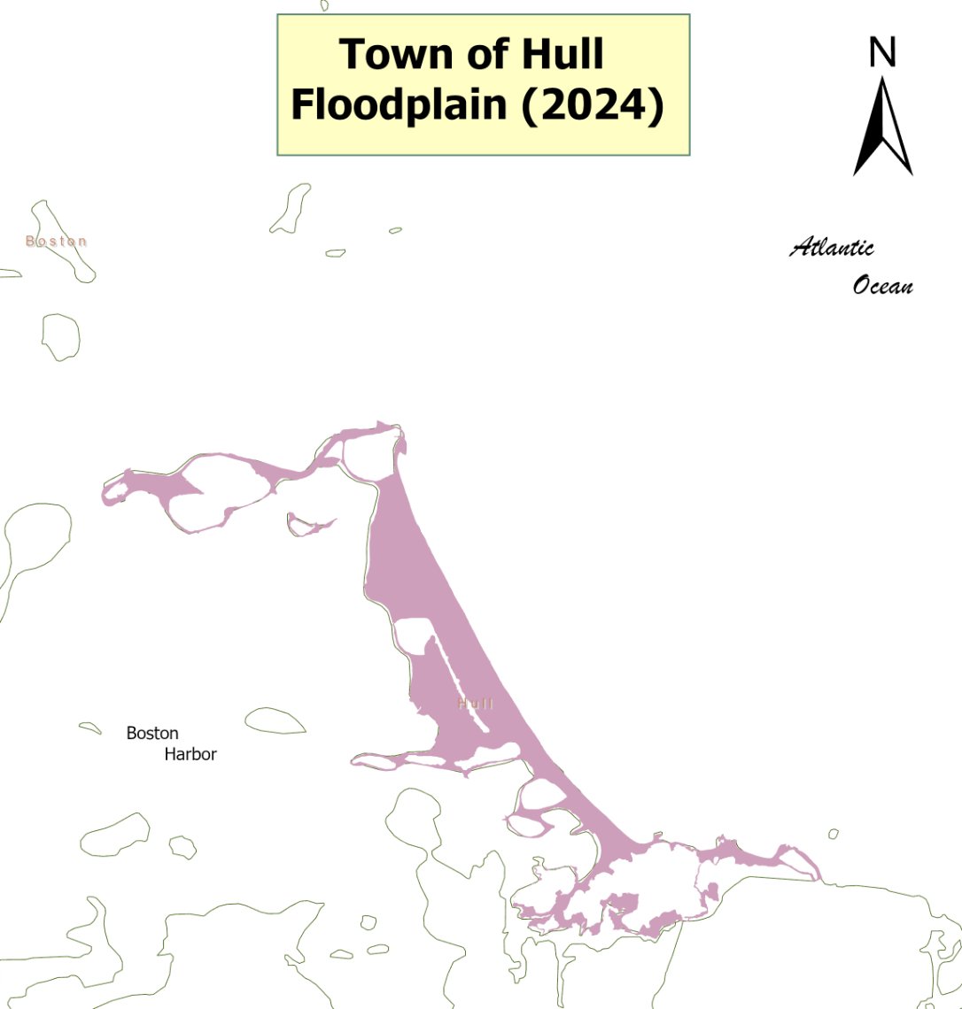
“The map is effectively the same for most of Hull… but updates have been made to the version of Coastal A zone areas with wave action up to three feet requiring an open foundation on piles,” said Building Commissioner Bartley Kelly.
A two-page letter dated March 25, 2024, addressed to select board chair Greg Grey from Rachel Sears, director of the Floodplain Management Division at FEMA, commended Hull for the “efforts that have been put forth in implementing the floodplain management measures.”
Violations can prevent a community from participating in the Community Rating System (CRS), a voluntary incentive program that encourages floodplain management practices that exceed the minimum requirements of the NFIP. Noncompliance can result in higher flood insurance premiums.
Hull is one of 14 Massachusetts communities participating in the CRS program. As of October 1, 2021, Hull had a CRS class designation of 7 out of 9 and was ranked fourth on a list of the top 50 NFIP policy count communities in terms of flood insurance policies in force.
Under the CRS, flood insurance rates are discounted to reward community actions that meet the three goals of the CRS – to reduce flood damage to insurable property, strengthen and support the insurance aspects of the NFIP, and encourage a comprehensive approach to floodplain management.
The advisory board’s explanation of the article in the warrant states that “this requirement makes such a district bylaw imperative for the continued safety and affordability of our town. The advisory board unanimously supports this bylaw as necessary to continue to protect the residents of Hull against future flooding impacts.”
The floodplain district includes all special flood hazard areas designated on the Plymouth County Flood Insurance Rate Map (FIRM) issued by FEMA. A letter from FEMA dated January 3, 2024, said no significant changes have been made to the flood hazard data on Plymouth County maps, so they may be used by the town in adopting the required floodplain management measures.
New floodplain district guidelines state applications for new construction of three or more residential structures or non-residential structures shall include descriptions of methods to minimize future flood impacts to the property and surrounding areas.
Some of the purposes of the Floodplain Overlay District listed in the warrant are to ensure public safety through reducing the threats to life and personal injury; prevent the occurrence of public emergencies resulting from water quality, contamination, and pollution due to flooding; avoid the loss of utility services which if damage by flooding would disrupt or shut down the utility network; reduce damage to public and private property resulting from floods; and minimize potential loss of life, destruction of property, and environmental damage.
The bylaw requires the designation of a floodplain administrator. That role will be filled by the building commissioner, or if not available, the director of climate adaptation and conservation or another official designated by the town manager.
Hull’s permit review process includes the requirement that the applicant obtain all local, state, and federal permits that will be necessary to carry out the proposed development in the floodplain overlay district.
Man-made alteration of sand dunes within the Zone VE which would increase potential flood damage are prohibited. All new construction within Zone VE must be located landward of the reach of mean high tide.
The bylaw is designed to preserve the natural flood control characteristics and the flood storage capacity of the floodplain while also eliminating costs associated with the response and cleanup of flooding conditions.
New and improved flow-through requirements in overwash flood zones are incorporated into the bylaw. AO and AH flood zones require adequate drainage paths to be provided around structures on slopes, to guide floodwaters around and away from proposed structures.
Like what you’re reading? Stay informed with a Hull Times subscription by clicking here.
Do you have an opinion on this issue? Click here to write a Letter to the Editor.


